Back chapter figures
Figure CCP4.1
Figure caption
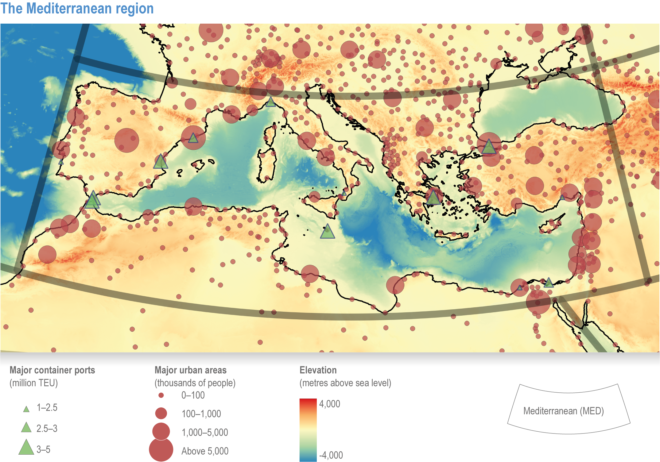
Figure CCP4.1 | The Mediterranean region: Topography and bathymetry (colour bar in metres), main urban areas (population in thousands for 2020 from www.naturalearthdata.com), container ports (millions of TEU [twenty-foot container equivalent units] in 2017, from International Association of Ports and Harbours) and borders of the Mediterranean region used in WGI AR6 Chapter 10 (Doblas-Reyes et al., 2021).
